Airport Obstruction

What Is Airport Obstruction?
Obstruction evaluation for any object that may affect the national airspace, air navigation facilities, or airport capacity.


Since 2009 Midland Surveying Inc. has completed over Thirty (30) Airfield Obstruction Surveys throughout the Continental United States for the United States Army Corps of Engineers and the National Guard Bureau through direct task orders or subcontracts per the specifications listed in Army Regulation 95-2, FAA document Number 405, UFC 3-260-01, AC 150-5300-16A, AC 150-5300-17B, and AC 150-5300-18B. Obstruction Surveys completed after 2017 were completed per the specifications listed in Exhibit 2.1, Airfield Obstruction Survey and Obstruction Evaluation Criteria for Army Airfields. Since the Army has more extensive criteria than other services for collection, analysis, review and reporting, Exhibit 2.1 assists in understanding which parts of the guidance documents apply to Army Airfields and which do not. Through meetings with the United States Army Corps of Engineers and United States Army
Aeronautical Services Agency (USAASA), Midland has been asked to provide input into the development of the specifications listed in Exhibit 2.1 which has been revised multiple times per Midland’s recommendations.
Upon receiving a task order, Midland conducts interviews with Airfield Management to obtain information about the airfield. During a kick-off call with the facility and USACE, the information obtained in the initial interview is discussed and a schedule for field work and interim and final deliverables is developed. A Pre-Survey report is then provided to the USACE project manager.
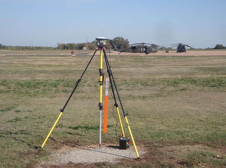
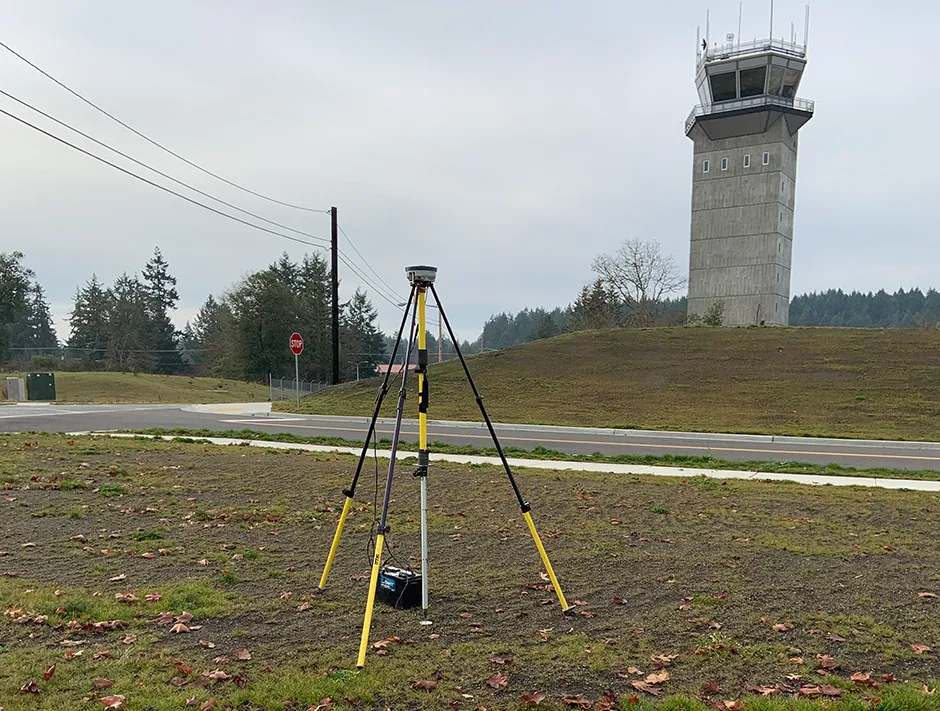
Field surveys include locating and verification of the existing PACS and SACS monuments. Once recovered, the condition and type of monument is documented including photographs of the control monuments. If the PACS and SACS monuments do not exist, other existing control on the airfield is considered per the acceptable control monuments listed in FAA AC 150/5300/16A. The control monuments are tied to the National Spatial Reference System (NSRS) per the specifications listed in FAA AC 150/5300/16A.
Normal Threshold (End of Runway) locations are the starting points for the OIS. Midland survey crews rely on the help of Airfield Management to determine these locations. The runway designations are based on the number painted on the runway at the time of the survey per FAA AC 150/5300/18B. Documentation of these locations include photos taken from each direction that would allow this point to be relocated in the future. If existing monuments are not found at the end of runway locations, new markers are placed to identify these points. The accuracies for locating the normal threshold are listed in Appendix B of Exhibit 2.1. Prior to leaving the airfield, the survey crew compares the normal threshold values with previous surveys and published end of runway values if available and substantial differences are investigated to ensure the correct location for the end of runways have been used. Displaced thresholds, overrun ends, and runway centerline profile points are also collected and documented.
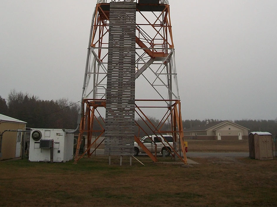
Electronic and visual Navigational Aids (NAVAIDS) locations are located per the guidelines listed in Appendix C of Exhibit 2.1. The horizontal survey point (HSP) and vertical survey point (VSP) for each type of NAVAID are illustrated in Appendix C. The accuracy requirements for these NAVAIDS are listed in Appendix B or Exhibit 2.1. Obstructions which consist of any manmade object, terrain, or vegetation that penetrate the OIS are surveyed, reported, and documented. The elevations of obstructions are reported at the top of the object per the accuracy requirements specified in Appendix B of Exhibit 2.1.
Once the field surveys are completed, the data is reviewed for accuracy by the Midland project manager. This information is then provided to Lamp Rynearson and Associates to develop the OIS for the airfield.
Once all analysis is complete, Midland then creates a Spatial Data Standards, Facilities, Infrastructure and Environment (SDSFIE) geodatabase. This database includes the control monuments with monument name and description recorded in the Summary Data Sheet, NAVAIDS (Electronic and Visual), Obstruction and minimum clearance points, Obstruction Areas, and Obstruction Identification Surfaces as well as all Metadata.
Midland’s project manager then reviews all of the information and prepares the final deliverable documents for the project as specified in the Scope of Work.